An 11th-Century Castle Built On The Limestone Cliffs People Often Overlook In Bouziès, France
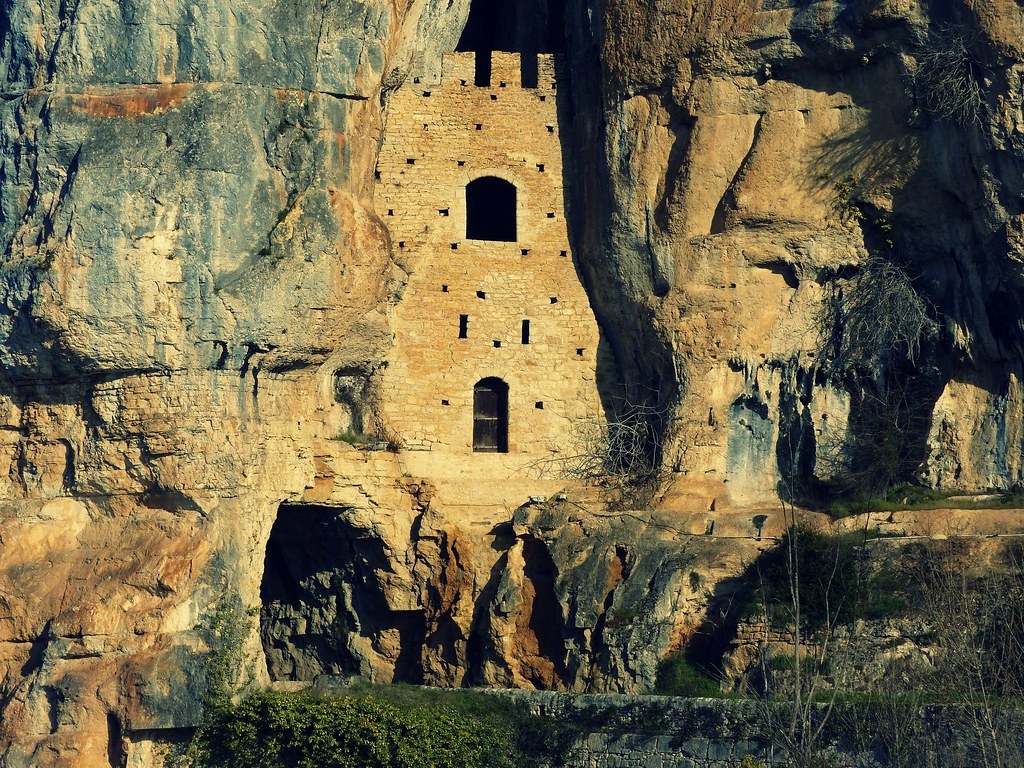
The Château des Anglais, or the English castle, is located on the limestone cliffs of the Lot Valley and the road to Cahors à Saint-Cirq Lapopie.
Although people often overlook the castle which dates back to the 11th century, it is a captivating landmark that offers a glimpse into the tumultuous past of southwestern France.
A Fortress in the Cliffs
The Château des Anglais, or “The English Castle,” derives its name from its use by English forces during the Hundred Years’ War.
While its name suggests a connection to English forces, it is believed to have been used by them during the Hundred Years’ War, rather than being built by them.
The English Castle was constructed by the local lords as a military post to monitor and control the vital Lot River during the 11th century.
The castle served as a refuge for local villagers during times of conflict and natural disasters, offering shelter within its sturdy walls.
Architectural Features
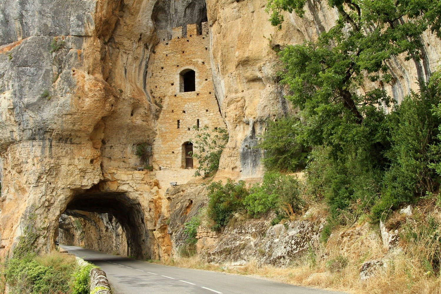
Though much of the original structure has been lost to time, the remains of the English Castke still impress.
The castle is built directly into the cliff face, with thick stone walls. This makes it nearly inaccessible from certain angles.
A wooden footbridge once allowed soldiers to patrol the cliff, and the main fortification served as their headquarters.
The interior of the castle is not open to visitors. However, the exterior can be viewed from nearby roads and the Bouziès metal bridge.
The Hundred Years’ War (1337-1453)
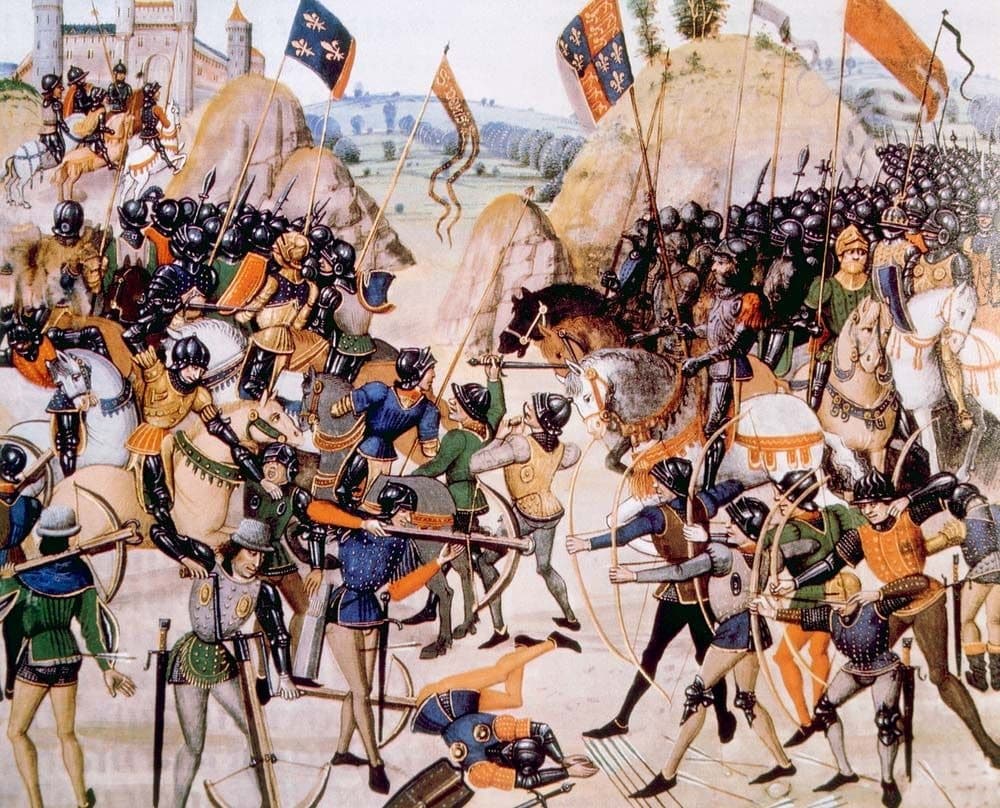
The Hundred Years’ War was a series of conflicts waged from 1337 to 1453 between the Kingdom of England and the Kingdom of France, along with various allies on each side.
Causes of the War
The primary cause of the Hundred Years’ War was the dispute over the rightful heir to the French throne.
When the French king Charles IV died in 1328 without a male heir, the closest male relative was his nephew, Edward III of England, who was the son of Charles’ sister.
However, the French nobility favored Philip VI, a cousin of Charles IV, citing the Salic law, which excluded inheritance through the female line.
Additionally, both England and France sought to control key regions, including the Duchy of Aquitaine.
The English Castle In The Hundred Years’ War
The English castle was occupied by English forces at various times during the war.
It provided a strategic stronghold for English forces, helping them control the river and surrounding territories.
The limestone cliffs
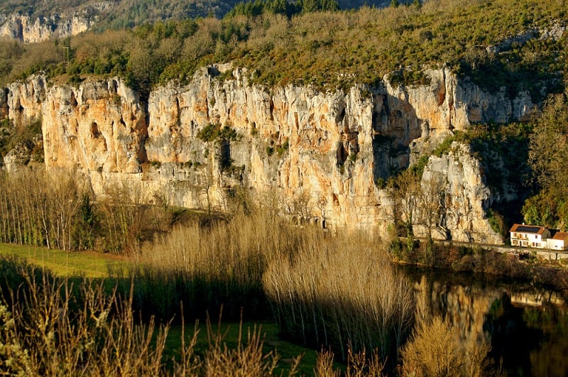
The limestone cliffs that frame the Lot Valley are a sight to behold.
Reaching heights of up to 70 meters, these cliffs have been shaped over centuries by the river’s relentless flow.
Throughout history, they have served as natural fortifications, shelters, and even homes for prehistoric people.
Today, their white and ochre hues, enhanced by sunlight and river reflections, create an awe-inspiring natural spectacle.
Bouziès – Treidelpfad am Lot
The Treidelpfad, or towpath, in Bouziès, is a captivating walk along the Lot River.
This 4.5-kilometer path connects the river port of Bouziès with the boat stop at Saint-Cirq-Lapopie.
The towpath was built between 1843 and 1846.
It was carved into the cliff face to facilitate the towing of boats along the river.
The men used their hands to dig out a quasi-tunnel, 400 meters long and 2 meters high, overlooking the river.
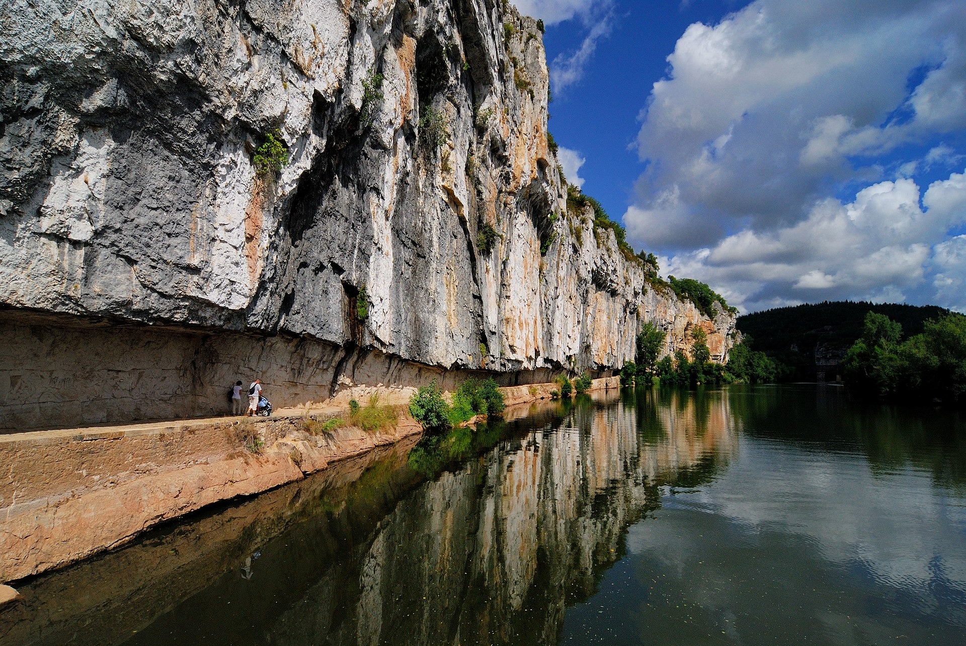
The path was originally constructed to facilitate river navigation.
Today, it is a popular route for hikers, providing stunning views of the Lot River and the surrounding landscape.
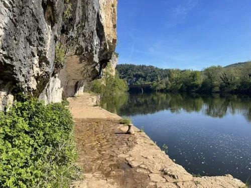
The cliffs surrounding the Château des Anglais are dotted with caves and troglodyte dwellings, further highlighting the area’s long history of human habitation.
These natural and man-made shelters have been used for centuries, from prehistoric times to the present day.
The limestone cliffs, with their white and ochre hues, provide a stunning backdrop to the castle and add to its dramatic appearance.
Daniel Monnier’s Art
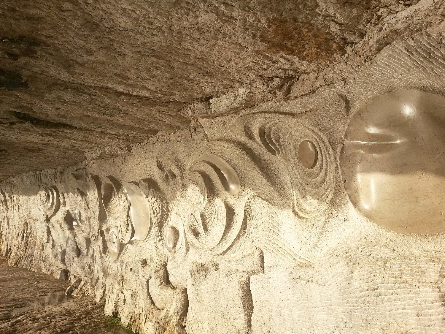
It is embellished with a 30m long bas-relief, created by Toulouse artist Daniel Monnier in 1985.
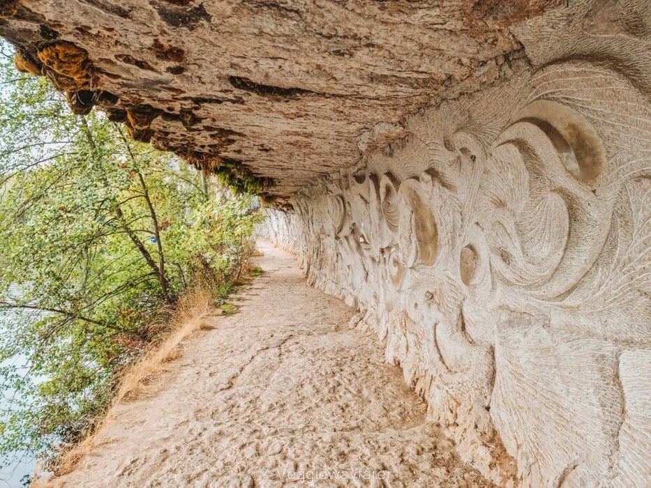
These intricate carvings depict the Lot River’s flora, fauna, rocks, fossils and whirlpools.
The Ganil Manual Lock
One of the towpath’s highlights is the Ganil manual lock, a unique feature still operated by hand.
Designed by Leonardo da Vinci, these locks remain operational today, offering a glimpse into the engineering marvels of the past.
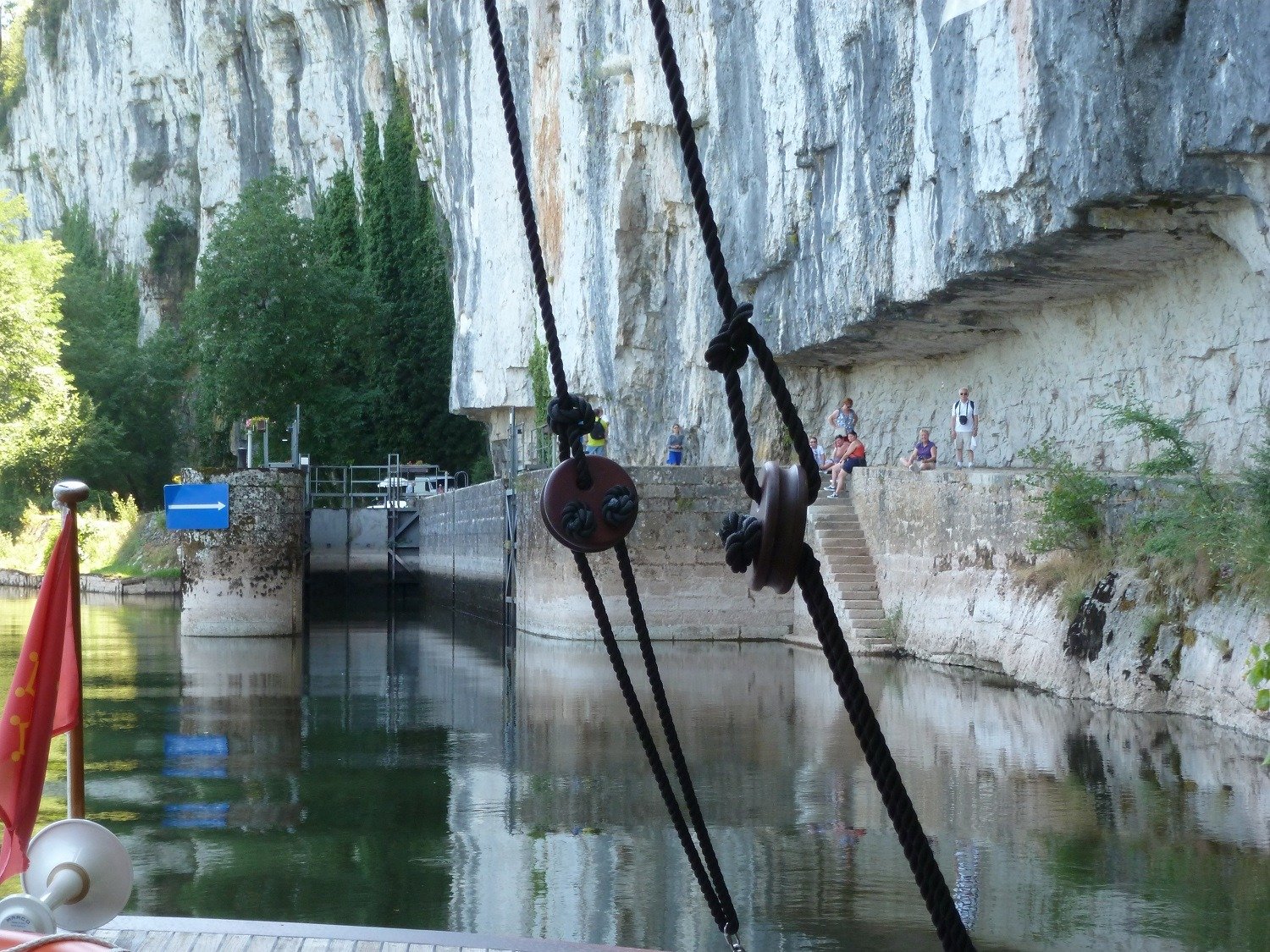
The Old Trading Port
At the foot of Saint-Cirq-Lapopie lies the old trading port, complete with a lock, landing docks, and a 14th-century water mill.
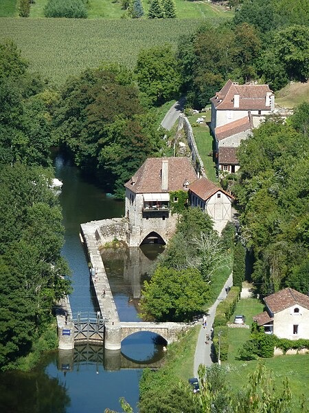
This area once thrived with activity, as bargemen loaded and unloaded goods crafted by village artisans.
The Aulanac water mill, with its rudders, was likely repurposed from old barges.
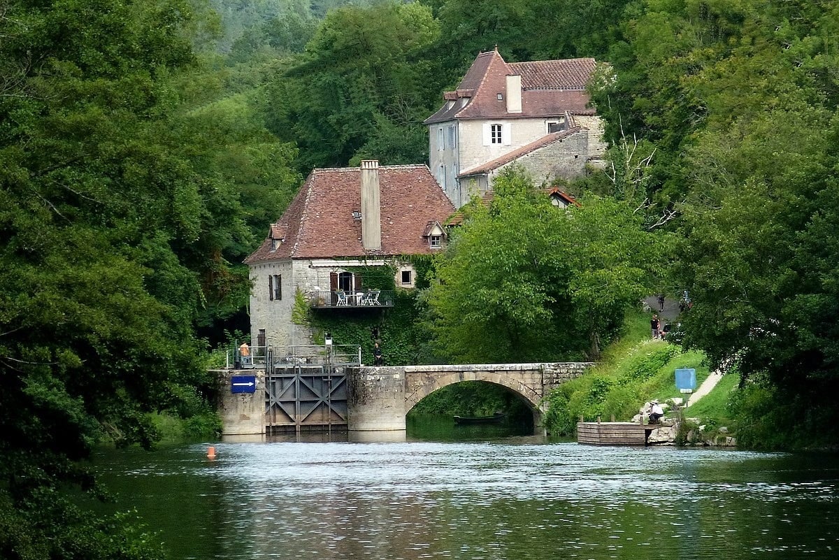
Saint-Cirq-Lapopie
Saint-Cirq-Lapopie is a medieval village located in the Lot department of France.
The village is perched on a cliff overlooking the Lot River.
The village’s history dates back to between the 9th and 11th centuries.
It was originally settled by three seigneurial families: the Lapopie, the Gourdon, and the Cardaillac.
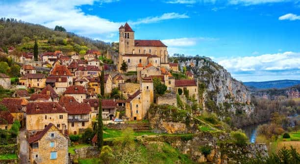
Saint-Cirq-Lapopie features narrow, steep streets and well-preserved medieval buildings, including castles and fortified houses.
In the Middle Ages, the village was known for its craftsmen, including boilermakers, leather specialists, and roubinetaïres (wood turners).

